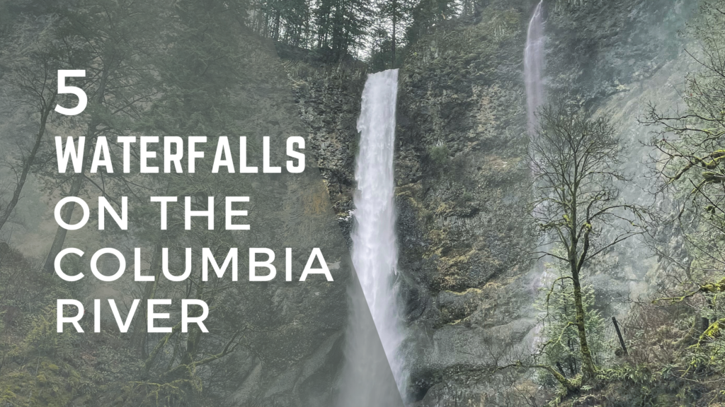
Discover the best waterfalls on the Columbia River! With well-maintained hiking trails and hidden waterfalls deep in the woods, there’s a waterfall adventure waiting for everyone. A common question among park-goers is, “What is the best waterfall on the Columbia River?” While it’s hard to choose just one, we’ve compiled a list of the top 5 waterfalls on the Columbia River in Oregon that you simply must visit.
Multnomah Falls
- Google Map Directions
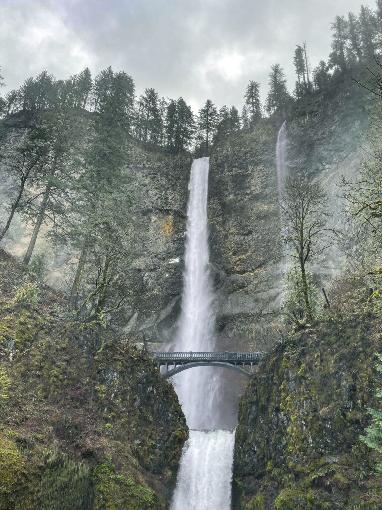
- Accessibility: Easily accessible via OR-84, the Multnomah Falls parking lot is right off the highway making it easy to start your journey to view this masterpiece. Multnomah Falls is also accessible year-round, with each season offering a unique experience with it’s the lush greenery of spring and summer, the vibrant colors of fall, or the icy spectacle of winter.
- Multnomah Falls Lodge: Visiting the Multnomah Falls Lodge is a must, with a restaurant and a gift shop inside, it’s a great spot to start or finish your adventure exploring the waterfall.
- Highlights: The Multnomah Falls has a stunning two-tiered cascade that offers visitors breathtaking views from the iconic Benson Bridge, which spans the lower falls. The surrounding area is home to scenic hiking trails, like the popular Multnomah-Wahkeena Loop, that wind through lush forests and past several smaller waterfalls.
Bridal Veil Falls
- Google Map Directions
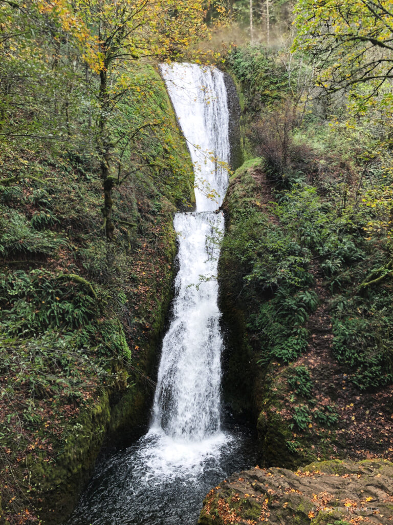
- Accessibility: Easily accessible via the Historic Columbia River Hwy, the Bridal Veil Falls parking lot is right off the highway making it easy to start your journey to both the overlook vista and Bridal Veil Falls.
- Bridal Veil Lodge: If you are looking for a nice place to rest at night, there is a Bed & Breakfast you can reserve, right next to the trail head for Bridal Veil. It’s available not only for travelers but also is a venue for larger gatherings.
- Highlights: To get to the falls is just over 0.5 miles on a nice trail, that does have a few challenges in elevation. If you struggle with moderate exercise, you can still visit the Overlook Loop that is just under half a mile.
Starvation Creek Falls
- Google Map Directions
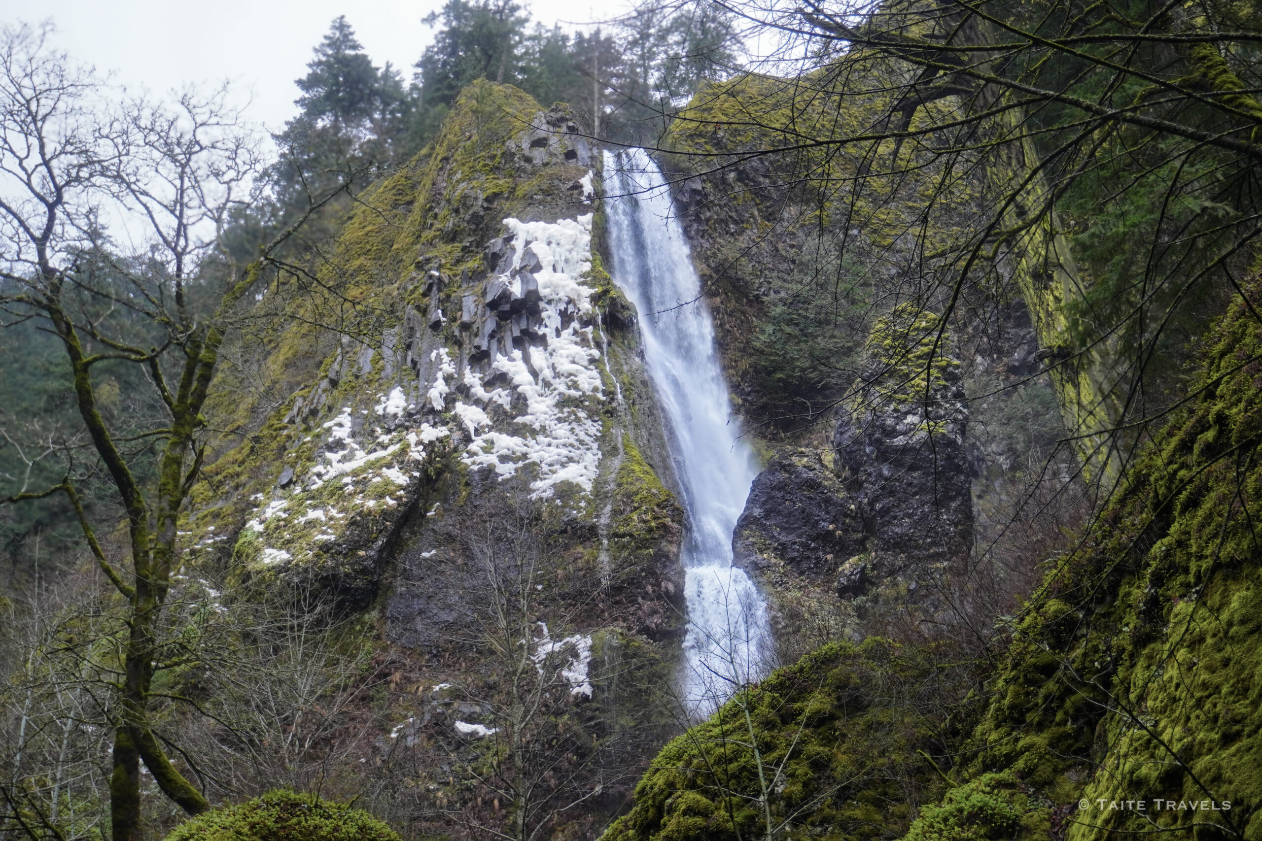
- Accessibility: Easily accessible via OR-84, the Starvation Creek Falls is located… you guessed it, at the Starvation Creek State Park. The parking lot is right off the highway making it easy to navigate and plenty of places to park.
- Highlights: On a personal note, we love this state park, not only for the access to Starvation Creek Falls but also the Hole In The Wall Falls below but there is so much more to see and do at this state park.
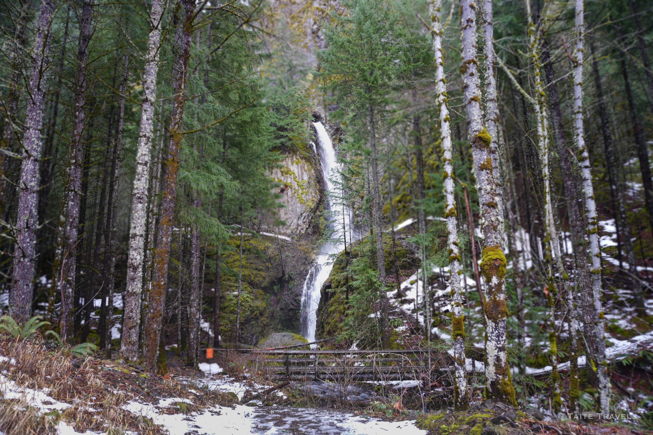
Hole In The Wall Falls
- Google Map Directions
- Accessibility: As mentioned above, to get to this waterfall, you will need to park at the Starvation Creek State Park parking lot. There is a sign in the parking lot that will show you the trail and all the wonderful waterfalls you will visit along the way.
- Highlights: If you wonder of the bridge that will give you beautiful views of the waterfall, you will see a trail that looks like it ventures off, but really it just links back up to the paved trail. Enjoy the feel of wondering and everything that the Hole in the wall falls has to offer!
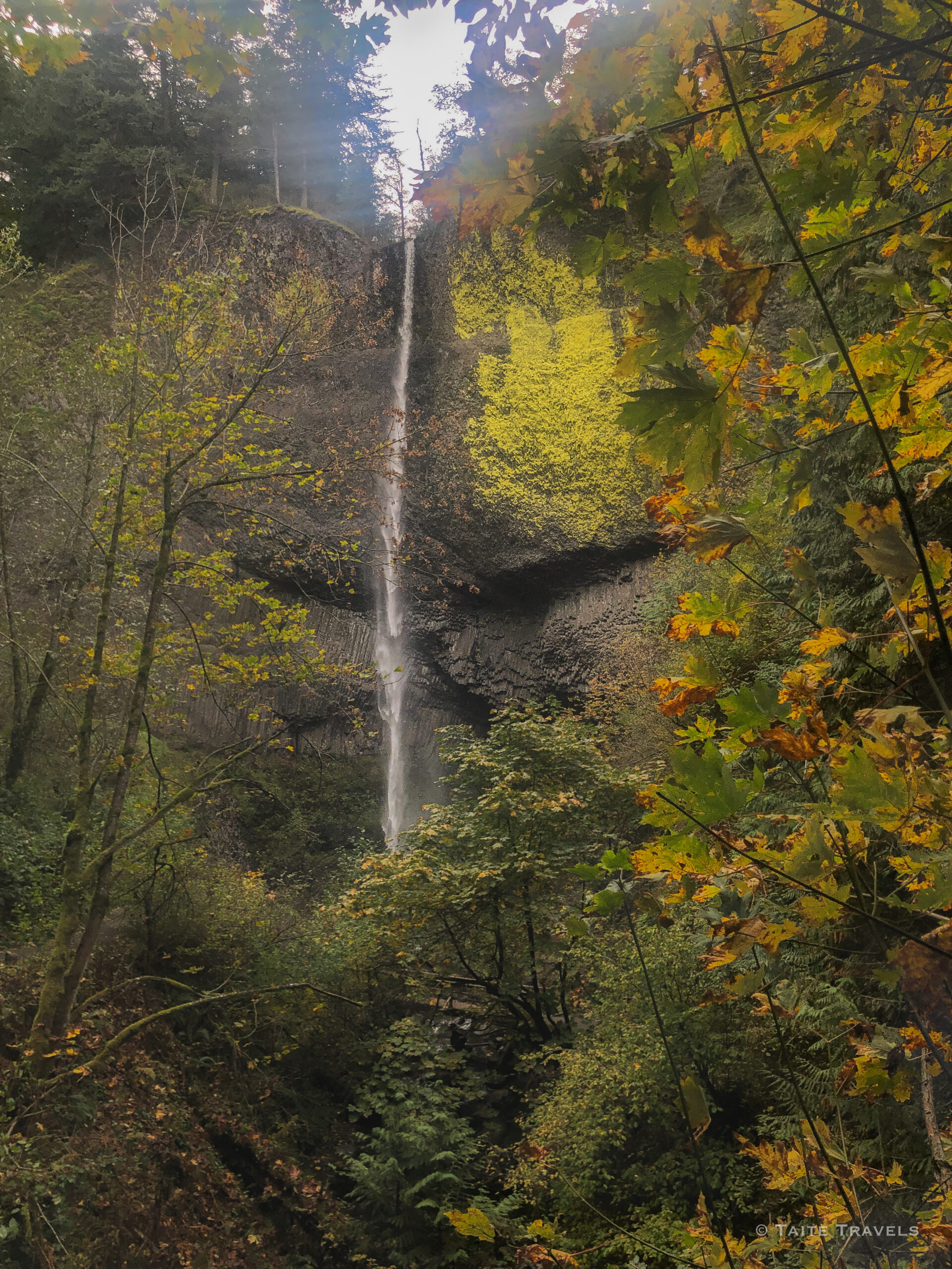
Latourell Falls
- Google Map Directions
- Accessibility: Easily accessible via the Historic Columbia River Hwy, the Bridal Veil Falls parking lot is right off the highway making it easy to start your journey to both the overlook vista and Bridal Veil Falls.
- Highlights: The first waterfall you will pass while traveling down the Historic Columbia River Highway and the tallest waterfall in the immediate area!

